
Introduction to Hidden Beaches and Drone Mapping
Ever dreamed of stumbling upon a slice of paradise, untouched and unseen by most? That’s the magic behind uncovering hidden beaches through drone mapping—a blend of exploration and technology that feels like modern-day treasure hunting. Picture this: crystal-clear waves gently lapping at a shore surrounded by jagged cliffs, invisible from any traditional map, yet beautifully revealed from the soaring eyes of a drone.
The Thrill of Discovery Through a Drone’s Lens
Suddenly, long drives down crowded coastlines or scouring tourist blogs seem quaint. With drones, it’s like unleashing a loyal scout who searches every nook and cranny of the coastline, spotting tucked-away coves or stunning stretches of sand only nature itself has decorated. A simple flight can lead to:
- A crescent-shaped bay hugged by lush green hills you’d never find on Google Maps.
- Tiny islets where turquoise waters shimmer like liquid gemstones.
- Secret lagoons hidden under rock arches—straight out of a fairytale.
And what makes this even better? It’s not just exploration; it’s connection. Drone photography communities around the globe are piecing together these secret seascapes, one breathtaking image at a time. By peering into their collective lens, you’re not just finding remote beaches—you’re unlocking a new perspective on the beauty our world holds.
How Drone Photography is Transforming Beach Exploration
![]()
Discovering Beaches Like Never Before
Imagine standing on a cliff, the salty breeze brushing against your skin, and suddenly—you see the world below through the lens of a drone. Drone photography isn’t just a hobby; it’s a revelation. It unveils beaches tucked away in the folds of nature, places your feet would’ve never dared to wander.
What makes this so transformative? It’s the new perspective. Instead of relying on maps or word-of-mouth, drones provide an eagle-eye view that cuts through mystery. Hidden coves, untouched sands, and secret lagoons leap into frame with every aerial snapshot. Stretch your imagination for a moment: a drone map pinpoints a secluded strand cradled by cliffs, but the only access is paddling through cerulean waters. Doesn’t that feel like your very own treasure map?
The Magic Lies in the Details
Drones don’t just show you beaches—they show you their soul.
- See intricate sand patterns swept by the tide.
- Spot coral reefs shimmering beneath turquoise waters.
- Catch glimpses of marine wildlife from a perspective so surreal it feels cinematic.
Thanks to shared drone footage, explorers are connecting like never before. These images aren’t just data—they’re whispers of adventure, calling you to step into a hidden world.
Top Hidden Beaches Discovered Through Drone Communities
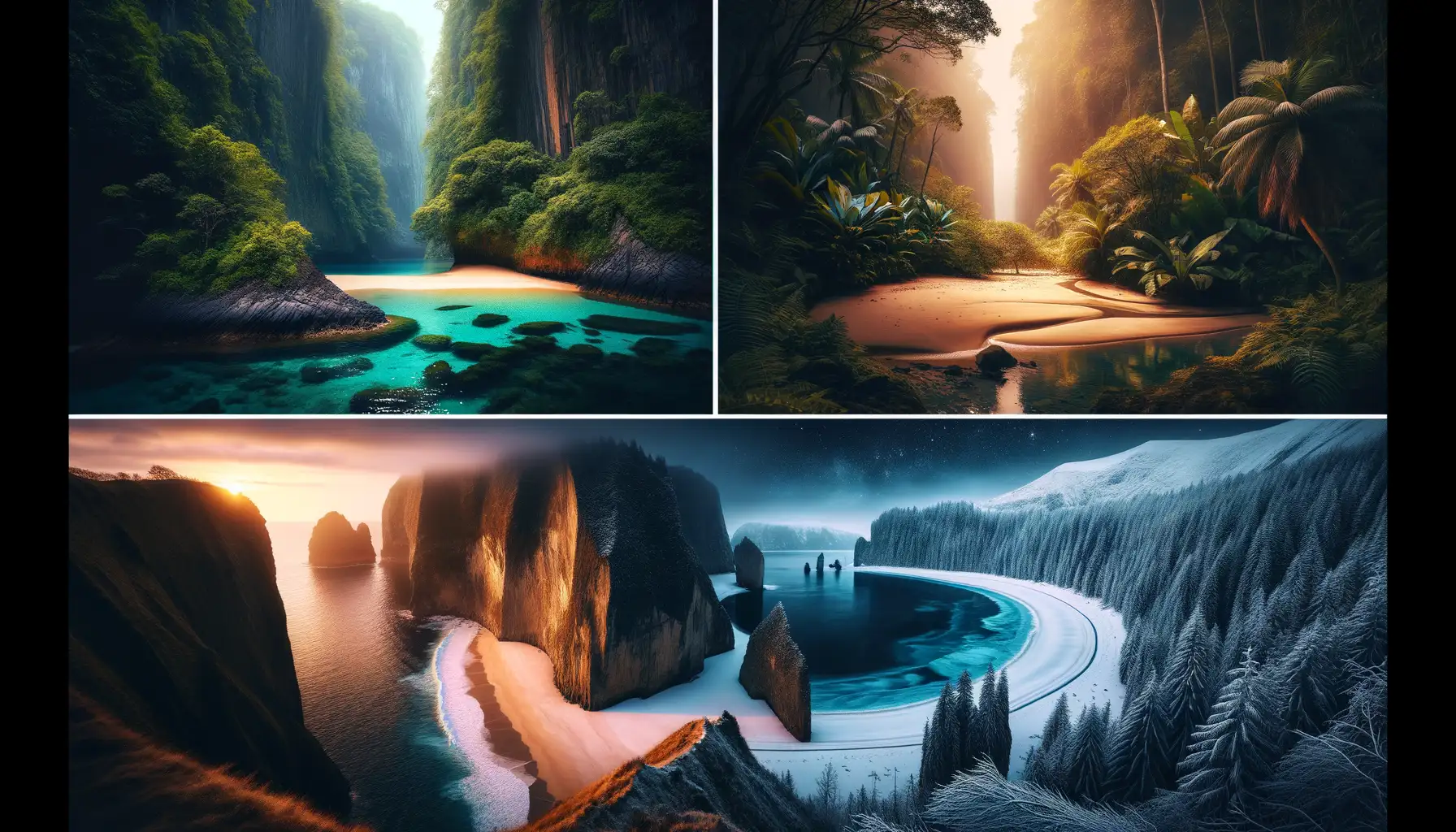
Secret Shores Captured from the Sky
Imagine standing on powdery sand so pristine, it feels like no human has ever set foot there. These breathtaking slices of paradise have been unearthed thanks to the eyes in the skies—drone photographers who scour coastlines for untouched beauty. From shimmering lagoons hidden behind rocky cliffs to crescent-shaped shores tucked away in dense jungles, these drone discoveries feel like they’ve flown straight out of a dream.
Take, for instance, the turquoise gem of Papakōlea Beach in Hawaii. While its greenish sand has long been whispered about among locals, it’s the aerial views that have unveiled its true allure—a sparkling emerald cove cradled by lava fields. Or picture Praia da Ursa in Portugal: a remote haven you’d never stumble upon without a bird’s-eye perspective revealing its jagged cliffs embracing sandy seclusion.
- As Catedrais Beach, Spain: Dramatic rock formations that look like ancient cathedral arches, accessible only during low tide.
- Koekohe Beach, New Zealand: Famous for its surreal spherical boulders scattered across misty shores.
Thanks to passionate drone pilots, the secret corners of the planet are finally coming out of hiding—one dazzling discovery at a time!
Tips from Drone Enthusiasts for Finding Hidden Beaches

Unleashing the Power of Your Drone for Secret Spots
Ever wondered how drone enthusiasts uncover those pristine, almost mythical beaches no one seems to know about? It’s part science, part art, and a whole lot of curiosity. The first rule: think like an explorer. Hidden beaches aren’t found on tourist maps—look beyond the obvious. Use your drone not just as a camera, but as your eyes in the sky. Fly it over rugged coastlines, dense cliff areas, or even islands that seem impossible to reach by foot.
Lighting plays a huge role when scanning for secret locations. Early mornings and late afternoons offer softer shadows that help reveal textures and hidden paths to secluded beaches. Don’t underestimate how different an area can look when the sun hits it at just the right angle.
- Scout satellite images first to pinpoint promising spots to fly.
- Experiment with altitude—sometimes lower angles reveal tucked away coves.
- Look for hidden trails or unusual rock formations that could lead to sandy havens.
Become obsessed with detail. Zoom into nooks that most overlook. Trust me, your patience will be rewarded. Discovering a hidden beach feels like unearthing a treasure chest—and your drone is the key.
Joining Communities for Local Secrets
One of the best-kept secrets of drone photography? Community power. Fellow enthusiasts are fountains of knowledge! Join groups on social media or apps where pilots share not just photographs but coordinates, tips, and warnings. Some threads will blow your mind—someone might mention a beach you’d never dreamt existed, reachable only by boat or a steep, camouflaged path.
Pro tip: approach this like a friendly detective. Ask questions like, “What’s a spot that completely surprised you?” or “Have you ever flown over a place that seemed totally untouched?” Enthusiasts love reliving their adventures and sharing “hidden gems.” Beyond inspiration, you’ll gain insights into flight restrictions, seasonal changes, and safety tips for navigating tricky terrains.
The thrill of discovery—and the storytelling afterwards—is half the joy. Let those shared whispers guide your next expedition!
Embracing the Future of Drone Mapping and Exploration

The Sky is Not the Limit: Where Drone Mapping Leads Us
Imagine standing on a cliff, staring out at the endless glisten of turquoise waves. Now picture a drone soaring above, uncovering secret beaches below—hidden coves, untouched sands, and emerald lagoons that no map has ever revealed. This is the magic of drone mapping: it’s like giving your curiosity wings.
Communities of passionate drone explorers are embracing technologies that feel almost futuristic. From AI-enhanced terrain analysis to thermal imaging cameras detecting coastal formations, drones are becoming our eyes in places we could once only dream about. Here’s where it gets even wilder: many now integrate real-time 3D mapping software, stitching together aerial views into dazzling, interactive beach maps.
- AI-powered drones that analyze patterns to hint at secluded areas.
- Lightweight models equipped for long flights over rugged coastlines.
- Software that allows you to “walk” virtually on these hidden beaches post-flight!
Joining the Conversation Through Community Collaboration
What truly sets this movement apart is its collaborative spirit. Drone enthusiasts aren’t just mapping—they’re sharing their discoveries across global forums and social platforms. Imagine downloading GPS coordinates to a hidden paradise found by someone halfway across the world. Or contributing your own footage for others to explore. It creates a sense of belonging—like being part of an adventurer’s club that trades treasure maps.
The future? Think solar-powered drones, mapping reefs and dunes without pause. It’s breathtaking—and the best part? You don’t need to be a tech wizard to join. Just bring a little wonder and let your drone do the talking.